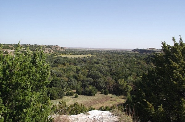
I recently visited Roman Nose State Park, near Watonga, Oklahoma. The brownish-red canyons and mesas in this semi-arid region of west Oklahoma are very different from the scenery of east Oklahoma or that of west Arkansas.
It was a pretty cool trip.
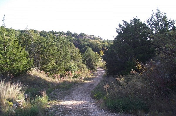
Roman Nose State Park was originally built in the 1930’s by the Civilian Conservation Corps. It is named for Henry Roman Nose, a Southern Cheyenne Chief.
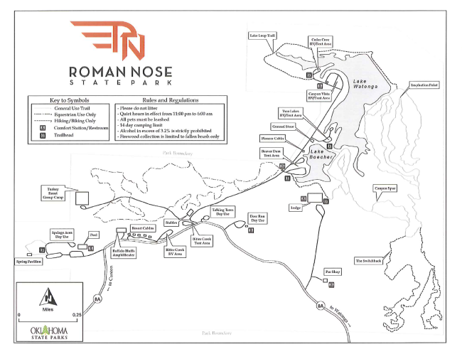
There are a lot of hiking trails in the park. Unfortunately, it can be rather difficult to tell where one trail ends and another begins since there are no blazes and only limited signage. What signs there are often are out-of-date.
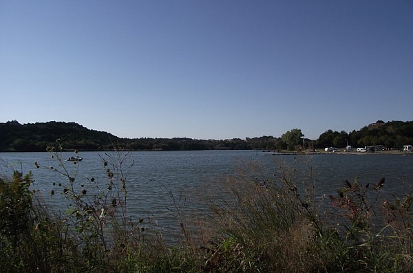
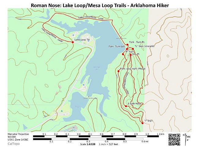
I definitely recommend the Mesa Loop Trail. It is a 1.8-mile loop trail that makes a shape somewhat like two long Christmas stockings. At the center is the trail’s literal highpoint – Inspiration Point. Inspiration Point provides a wonderful view of the most of the park as well as the Bitter Creek/Roman Nose Canyon area to the north.
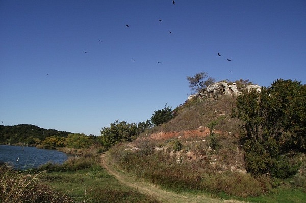
You will have to walk another trail in order to reach the Mesa Loop Trail. I suggest walking the Lake Loop Trail to get there. (Unlike the similarly named Lakeshore Loop Trail, the Lake Loop Trail is actually not a loop.)
Begin at the Lake Loop trailhead near the park’s Canyon Vista camping area. (Parking is nearby.) This trail is an easy walk as much of it is a former road.
Eventually, you will reach and walk across the earthen dam for Lake Watonga. After the dam, take a right at the first fork to proceed toward the Mesa Loop Trail. (You will probably be able to see the large mesa at this point.)
Shortly after that, you will reach the Mesa Loop Trail. (You have walked .8 miles at this point.) Turn left.
From here the trail proceeds south along the east side of the mesa. Then it works its way up to the top of the mesa.
After Inspiration Point, the trail heads southward along the west side of the mesa, and then it goes back down to ground level.
At the southernmost tip of the loop is a direction sign with the letter “I”. Stay to the right. Later, you will see a few other signs which permit you to continue along the Lakeshore Loop Trail. Continue to stay right to stay on the Mesa Loop.
After you have walked about 2.6 miles, you will be back at the point where you began the Mesa Loop. Here, turn left to head back to the Lake Loop trailhead where you began. The entire hike is about 3.4 miles.
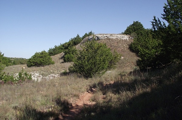
Among the cool things to see along the trail are the plentiful cactus plants along the top of the mesa and the white gypsum rock that is almost everywhere in the park. (You can read an interesting (1959) summary of the geography and ecology of the park at this pdf link.)
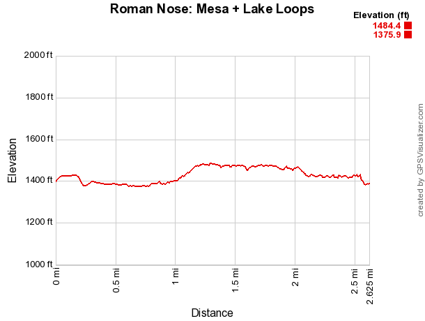
This is not a difficult trail to walk. The elevation change to the top of the mesa is only about 100 feet. You should exercise caution with children due to some of the drop-offs on the mesa.
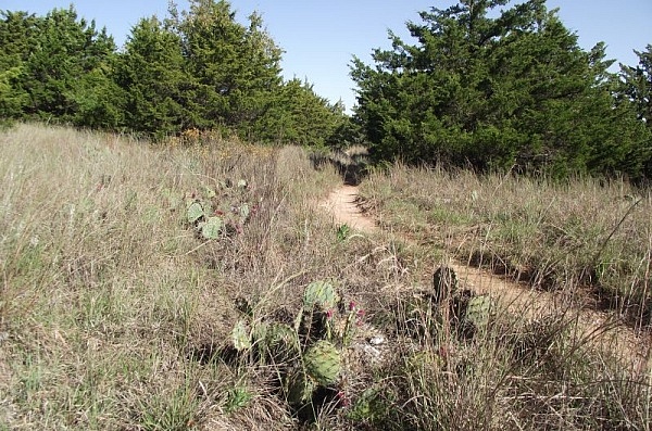
All the trails in the park are open to mountain bikes. Many are open to horses as well. (The Mesa Loop Trail is, but the Lake Loop Trail is not.)
It appears that much of the work of constructing and maintaining the park trails has been done by the Oklahoma Earthbike Fellowship. If you have a chance, thank them for their work.
Map
| Lake Loop and Mesa Loop - Roman Nose State Park | |
|---|---|
| Location | Roman Nose State Park, Blaine County, Oklahoma (near Watonga) |
| Hike Length/Type | 3.4 mile semi-loop |
| Difficulty | Mildly challenging (2 of 5). |
| Other Permitted Usage | Mountain Biking (all), Horses (Mesa Loop) |
| Gpx file by Mike | Link |
| Date Hiked | 10-09-2010 |
| Directions | Google Maps Directions to Lake Loop Trailhead |
| Official Info | (580) 623-7281 Website Official Park Map (pdf) |
Last revised: 9-21-2019.
