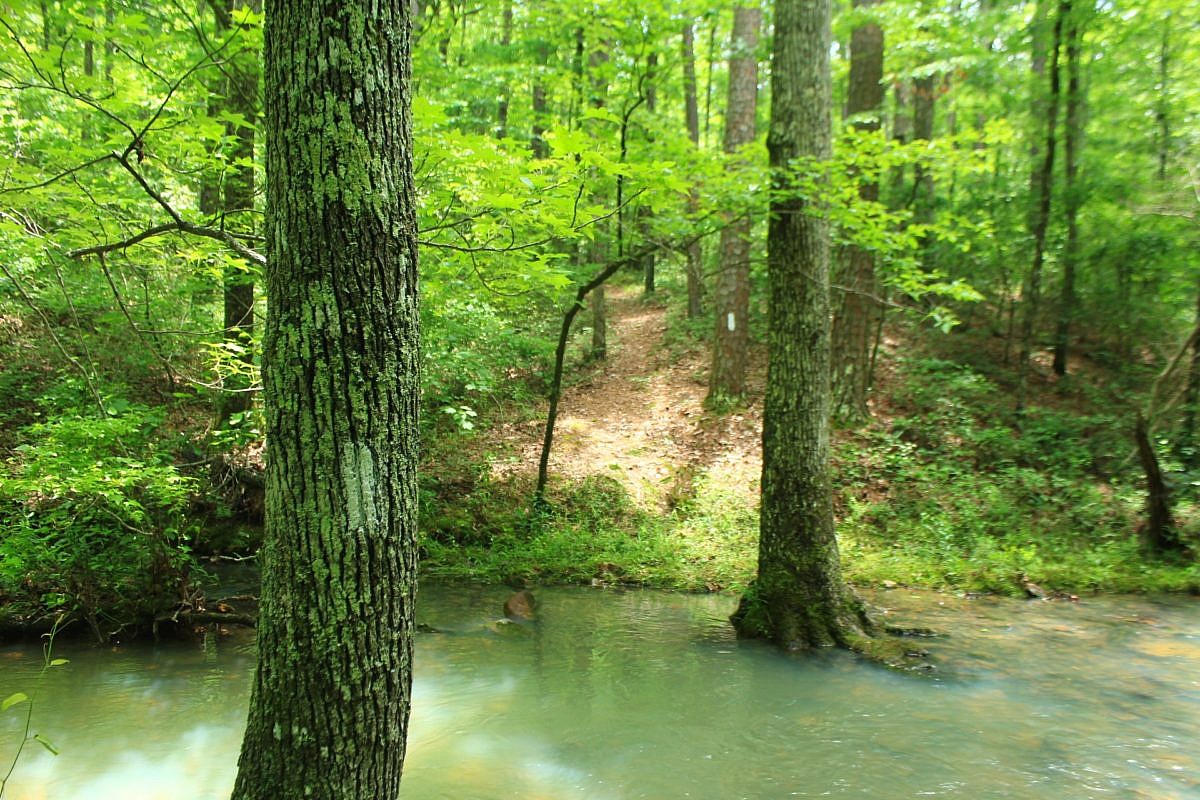
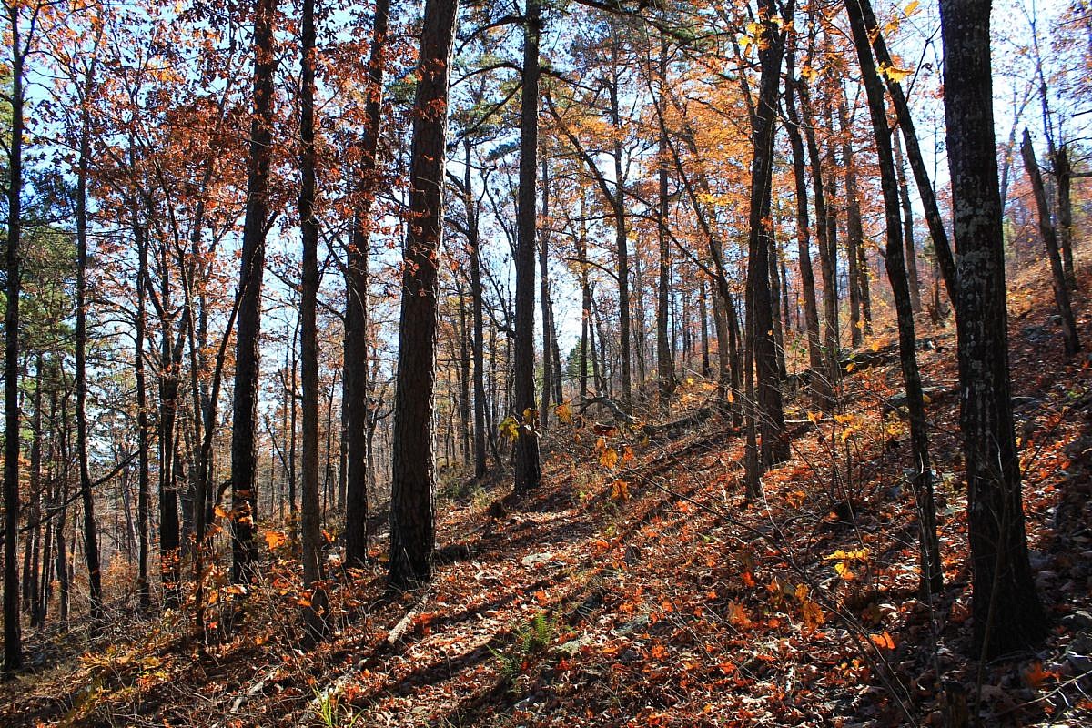
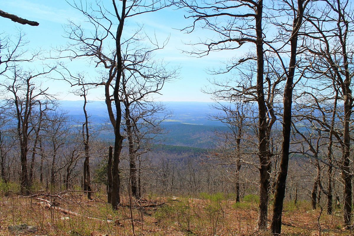
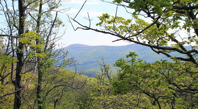
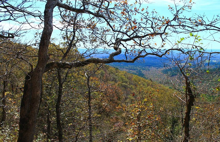
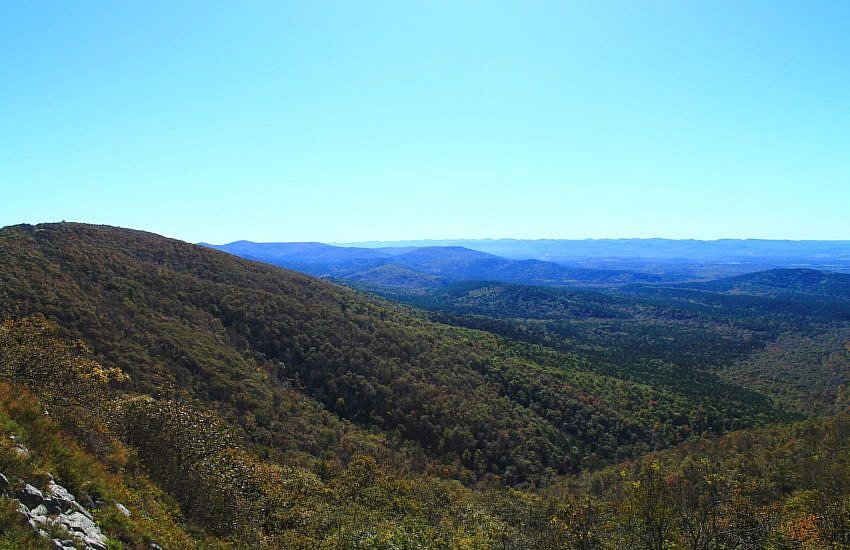
Tagged: Montgomery and Polk Counties (Arkansas)

Tall Peak Trail Photos (Ouachita Forest) 02-24-2013

Tall Peak Trail Photos (Ouachita Forest) 02 24 2013 photo 2013 0224 tallpeak0119 600x229
View from near top of Tall Peak Mountain (panoramic)

As I mentioned here, I had aborted my first attempt at the Tall Peak Trail after hiking less than halfway. I decided to try it another day after I realized how challenging the hike is (the elevation increase is over 1,000 feet) and that I should have gotten an earlier start.

The Tall Peak Trail, running from Shady Lake to the top of Tall Peak Mountain in the Ouachita National Forest, near Mena, Arkansas, is a little more than 3 miles, each way.

My February 24 visit went better. I made it to the top of Tall Peak Mountain and then made it all the way back. Yes, it was after dark when I finished, but I did finish it.

Tall Peak Trail Photos (Ouachita Forest) 02 24 2013 photo 2013 0224 tallpeak0014 600x229
Tall Peak Trail along the Saline River (panoramic)

These are some photos I took of my hike that day. (Click photo for larger view. More after the jump.)

Continue reading

Tall Peak Trail Photos (Ouachita Forest) 01-26-2013

Tall Peak Trail Photos (Ouachita Forest) 01 26 2013 photo 2013 0126 55 tallpeak 600x226
Panoramic shot from vista on Tall Peak Trail, Ouachita National Forest

As I mentioned here, last weekend I went to the Tall Peak Trail which starts at Shady Lake, in the Ouachita National Forest, southeast of Mena, Arkansas.

Due to getting a late start, I only did about half of the trail that day.

Tall Peak Trail Photos (Ouachita Forest) 01 26 2013 photo 2013 0126 14 tallpeak 600x227
Saline River, Tall Peak Trail (panoramic)

These are some photos I took that day. Most are of the very scenic first part of the trail along the Saline River. (Click for larger photo.)

Continue reading

Shady Lake Trail Map (Ouachita Forest)

This past weekend I hiked part of the Tall Peak Trail in the Ouachita National Forest, Polk County, Arkansas. The trailhead is at the Shady Lake Recreation Area campground, near the Caney Creek Wilderness Area, about an hour’s drive southeast of Mena. (I started too late in the day to finish the trail.)

The campground is closed now for winter, but the trails are open. (You may have to park outside the gate.)

Shady Lake Trail Map (Ouachita Forest) photo 2013 0126 0 small tallpeak
Shady Lake Trail Map (displayed at campground information board)

While there, I saw this map posted showing the Shady Lake Trail as well as the Tall Peak trailhead. (The trailhead is at the south end of the campground’s C Loop.)

Continue reading

Ouachita Trail Rich Mountain Snow Photos 12-27-2012

Ouachita Trail Rich Mountain Snow Photos 12 27 2012 photo 2012 1227 08 qwsp 600x450
Trail head (Ouachita Trail), near Queen Wilhelmina State Park

Yesterday, I wanted to take some snow pictures so I headed toward Queen Wilhelmina State Park. It is up on Rich Mountain, near Mena, Arkansas.

It turned out that there was so much snow and ice at the park that the trails were closed, but I was able to get some pictures on the nearby Ouachita Trail section just west of the park. (This is the part I called 02-J, between the park and the pioneer cemetery. It is between Mile 50 and 51.)

Ouachita Trail Rich Mountain Snow Photos 12 27 2012 photo 2012 1227 20 qwsp 600x223
Panoramic of Ouachita Trail (facing West) with lots of snow

The snow seemed a foot or more deep, but I didn’t bring a ruler. (Officially, Mena got 9 inches of snow.)

Hiking through snow that deep is kind of like hiking through a giant sandbox. Good exercise, but hard to move very fast. 

Continue reading

Earthquake Ridge Trail with Southern Loop (Ouachita Forest)

Earthquake Ridge Trail with Southern Loop (Ouachita Forest) photo 2012 1007015 earthquake 600x450
On the main loop of the Earthquake Ridge Trail (facing south), Ouachita National Forest

The Earthquake Ridge Trail is a moderately challenging but short loop trail in the Ouachita National Forest, just north of Mena, Arkansas. It has a main loop and a few additional loops, one called the “Southern Loop.” Back in October, I hiked the main loop and the Southern Loop. It’s a nice little hike — under 3 miles by my measurements.

Earthquake Ridge Trail with Southern Loop (Ouachita Forest) photo 2012 1007028 earthquake 600x337
Eastward view from Rich Mountain on Earthquake Ridge Trail

My gps measurement of the two loops is shorter than what is shown on the official Forest Service trail map. It shows the two loops (including an initial spur) having a total length of about 3.8 miles. My gps-based calculation for those 2 loops comes to about 2.8 miles.

Continue reading