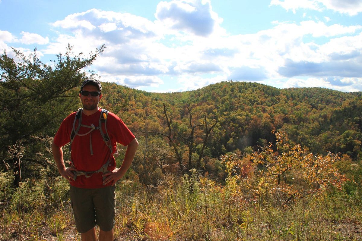
The 6-mile War Eagle Valley Loop of the Hidden Diversity Trail is a cool and scenic hike at Hobbs State Park-Conservation Area (Benton County, near Rogers). The overlooks near War Eagle Creek are a real treat.
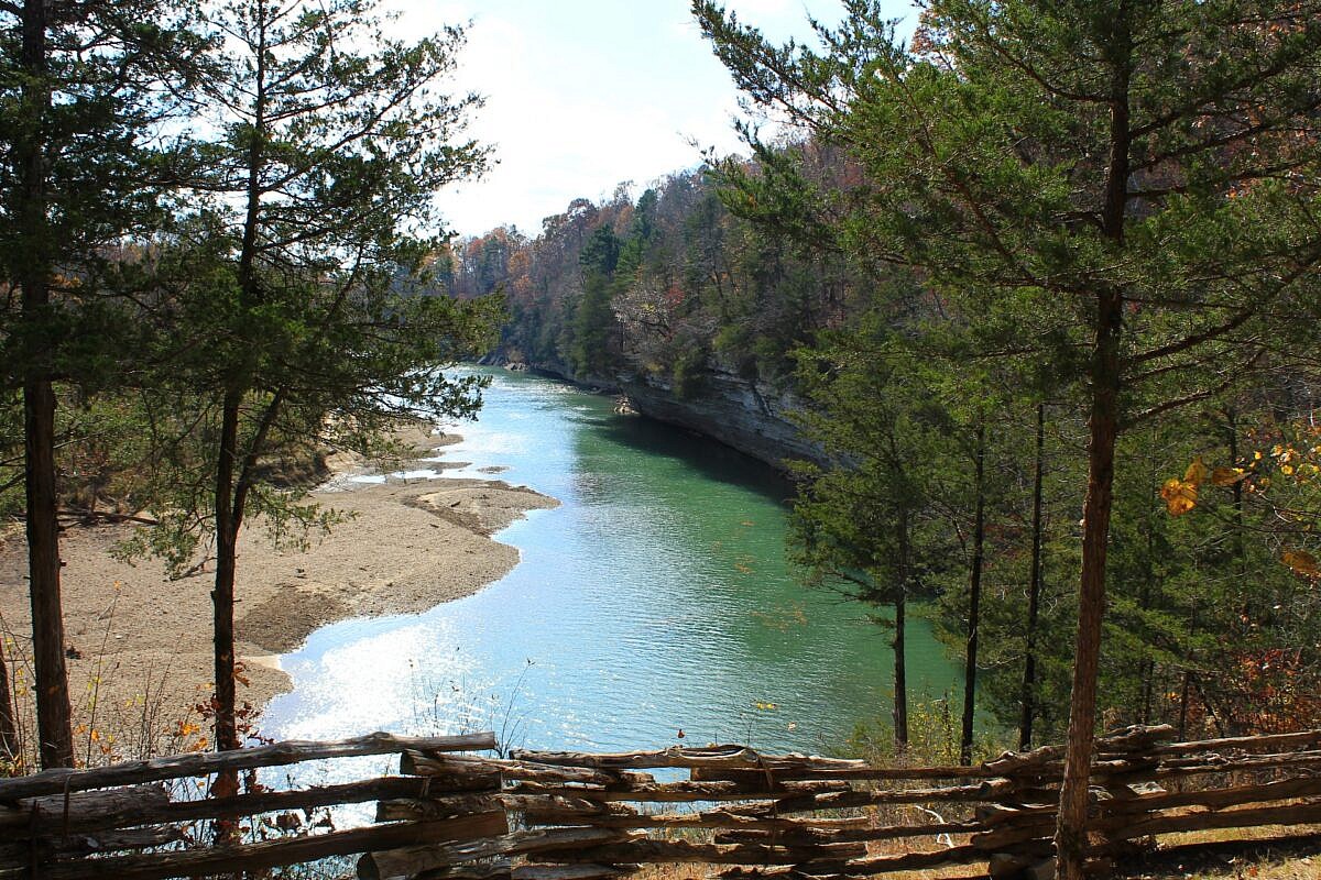
The 6-mile War Eagle Valley Loop of the Hidden Diversity Trail is a cool and scenic hike at Hobbs State Park-Conservation Area (Benton County, near Rogers). The overlooks near War Eagle Creek are a real treat.
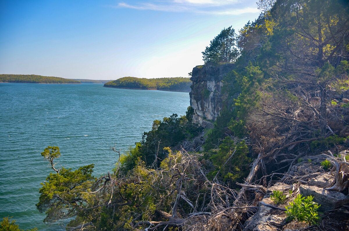
Robinson Point Trail is a beautiful 3-mile hike at Robinson Point Park in Baxter County near Mountain Home. It gives you amazing views of Lake Norfork as well as the beauty of the Ozark Mountains.
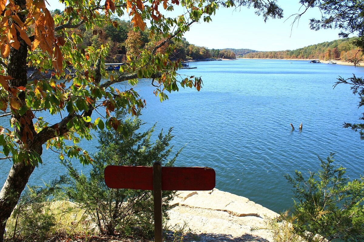
Bashore Ridge Loop hike is an enjoyable and mildly challenging 4.1-mile hike at Hobbs State Park-Conservation Area (near Rogers, Benton County, AR). The highlight is the beautiful Beaver Lake overlook. The Hidden Diversity Multi-Use Trail is a complex of loops and spurs in the west part of Hobbs. This hike does one of those loops.
This is a scenic 6.5-mile loop which begins at the Big Brushy Recreation Area (Montgomery County), about 30 miles east of Mena, Arkansas. The trail begins at the back of the recreation area and makes a counterclockwise loop. The last 3.1 miles of the loop are on Section 4 of the Ouachita Trail.
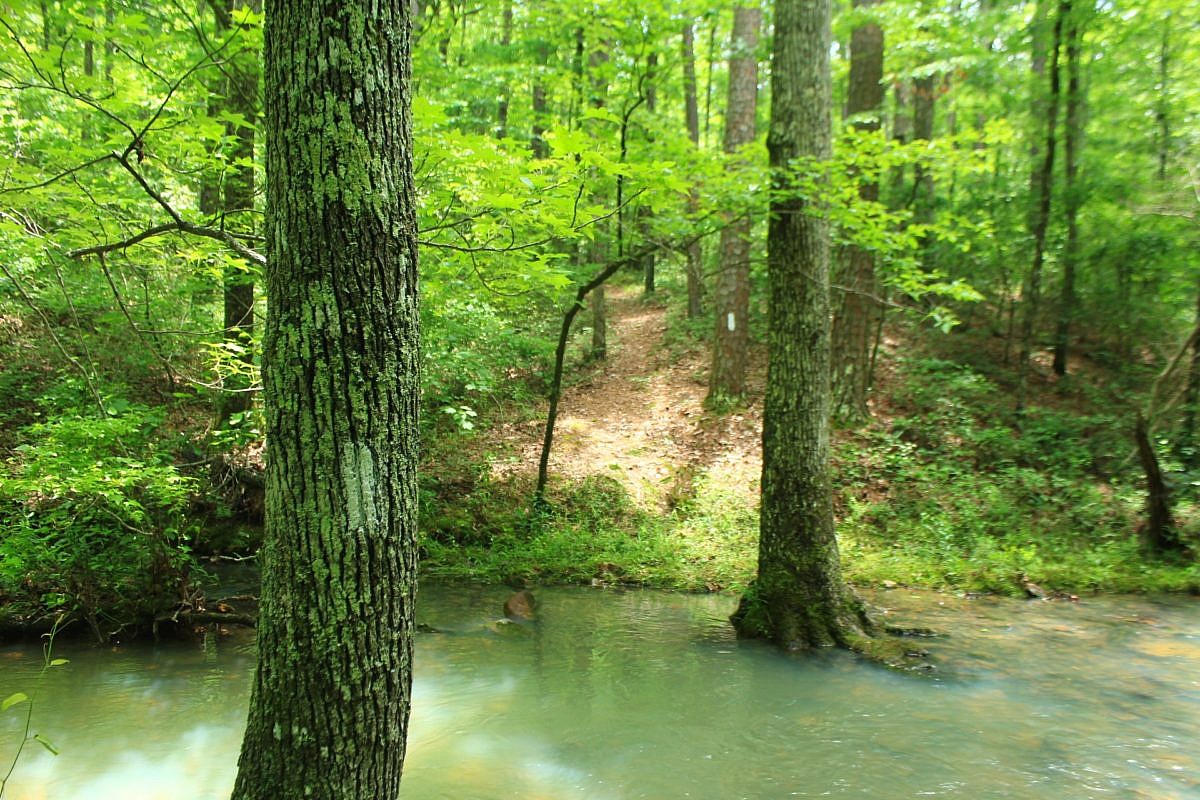
The Rush Mine Level Trail (2.8 miles as out-and-back) in the lower district of the Buffalo National River (Marion County) is an enjoyable mildly challenging hike through a former mining area.
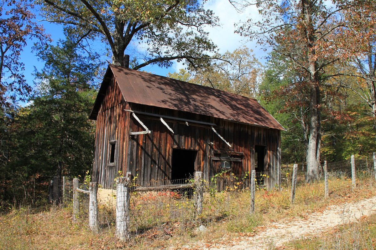
The Morning Star Interpretive Loop is an easy .2-mile loop in the Rush Historic District of the Buffalo National River Lower District (Marion County, Arkansas). It has numerous remnants of the area’s mining town history.