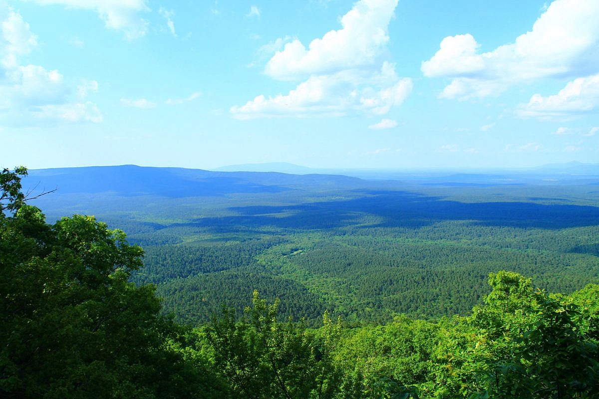
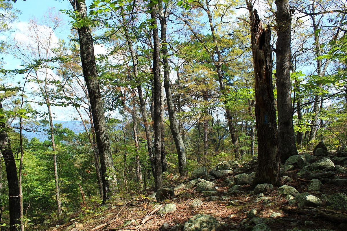
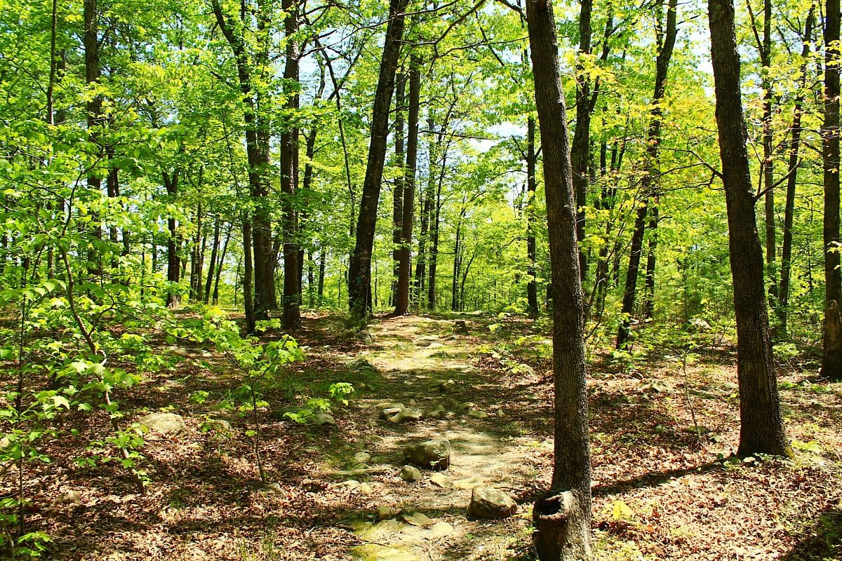
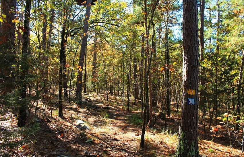
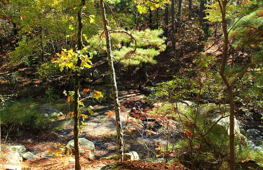
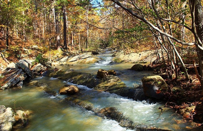
Tagged: LeFlore County Oklahoma

Cavanal Hill Profile Video

Cavanal Hill Profile Video photo 320px Cavanal Hill OK
Cavanal Hill, Poteau, Oklahoma

Cavanal Hill is in Poteau, in Southeast Oklahoma. It is promoted as the “tallest hill in the world.”

The U.S. Geological Survey refers to it as “Cavanal Mountain” and notes that its elevation is 2,385 feet.

If you ever visit Poteau, you can’t miss Cavanal Hill. It is by far the most prominent natural feature of the surrounding area. In fact, it is easily viewable from many parts of Fort Smith, about 25 miles away.

Although I have been in and through Poteau many times, I have never been up on Cavanal Hill. My understanding is there are not any trails going up the mountain. Please send me a line if I am incorrect on that.

This is a short video from Discovery Oklahoma with some more information about Cavanal Hill.

Alternate video link.

[Updated: 2012-04-23]

Ouachita Trail: 01-B – Potato Hill Vista Spur – FR 6010

This stretch of the Ouachita Trail (which I call “01-B”) is about 3.5 miles long (7.0 miles out and back). It is close to the beginning of the Ouachita Trail. It is on Winding Stair Mountain in LeFlore County, Oklahoma.

I hiked it back on October 10, 2009. For some reason, I cannot find any photos I took at that time.

But I wanted to go ahead and do a post with the gpx map and elevation profile.

Ouachita Trail: 01 B – Potato Hill Vista Spur   FR 6010 photo
Foliage on segment 01-C of the Ouachita Trail.
Ouachita Trail: 01 B – Potato Hill Vista Spur   FR 6010 photo ouachita trail 01 B elevation1
Approximate Elevation Profile Based on GPS Data (Going East to West)

Continue reading

Ouachita Trail: 01-E2FGH – Horsethief Springs – Holson Valley Vista – Cedar Branch

Ouachita Trail: 01 E2FGH   Horsethief Springs   Holson Valley Vista   Cedar Branch photo OT 01F 2011 042334
Cedar Branch - Ouachita Trail

You may remember from this post that last May I tried hiking on the Ouachita Trail from Deadman’s Gap east to Cedar Branch on Winding Stair Mountain in LeFlore County, Oklahoma. The segment I was trying to do is about 5.5 miles, but I wasn’t able to make it much past mile marker 13.

I think my being on antibiotics played a role in my not making it to Cedar Branch that day. I got very overheated and queasy. It seemed like heat exhaustion.

I climbed my way through the brush up to Highway 1 (Talimena Highway), and my girlfriend thankfully came and took me to my car. (I refer to the parts I completed as “01D” and “01E1.”)

This past Saturday, my goal was to finish Section 1. The only part I had not yet hiked was the part from Horsethief Springs west to MM 13 (a little past Cedar Branch). (I refer to this as “01E2,” “01F,” “01G”, and “01H.”)

It was an exhausting day, but I made it.

Continue reading

Ouachita Trail: 02-DE – Pashubbe Trailhead – Wilton Mountain

Ouachita Trail: 02 DE   Pashubbe Trailhead   Wilton Mountain photo OT 02DE 2011 041626
View from Wilton Mountain - Ouachita Trail 02-DE

My hike yesterday on the Wilton Mountain part of the Ouachita Trail (LeFlore County, Oklahoma) was pretty exciting for me. It was the longest hike I have done (9.6 miles, out and back), and it had the most ascent (combined total of 2100 feet) I have hiked in one day.

I thought it was a very enjoyable (but demanding) hike.

Ouachita Trail: 02 DE   Pashubbe Trailhead   Wilton Mountain photo OT 02DE
Approximate Elevation Profile Based on GPS Data

.

Continue reading

Billy Creek Trail – North Loop (Ouachita Forest)

Billy Creek Trail   North Loop (Ouachita Forest) photo 2011 01 30 billy.038
View from Billy Creek Trail (North Loop)

There are two Billy Creek Trail loops. (The Billy Creek Trail is on Winding Stair Mountain, LeFlore County, Oklahoma, in the Ouachita National Forest.) My post on the south loop is here.

The south loop is a 7.3-mile hike with 600 feet in elevation change. It starts with a spur near the Billy Creek Campground.

The north loop is a little shorter, but has more climbing. It is 6.9 miles long with 750 feet of elevation change.

My hike there on January 30 was pretty nice.

Billy Creek Trail   North Loop (Ouachita Forest) photo Billy Creek Trail upper loop
Approximate Elevations Based on GPS Data.

.

Continue reading