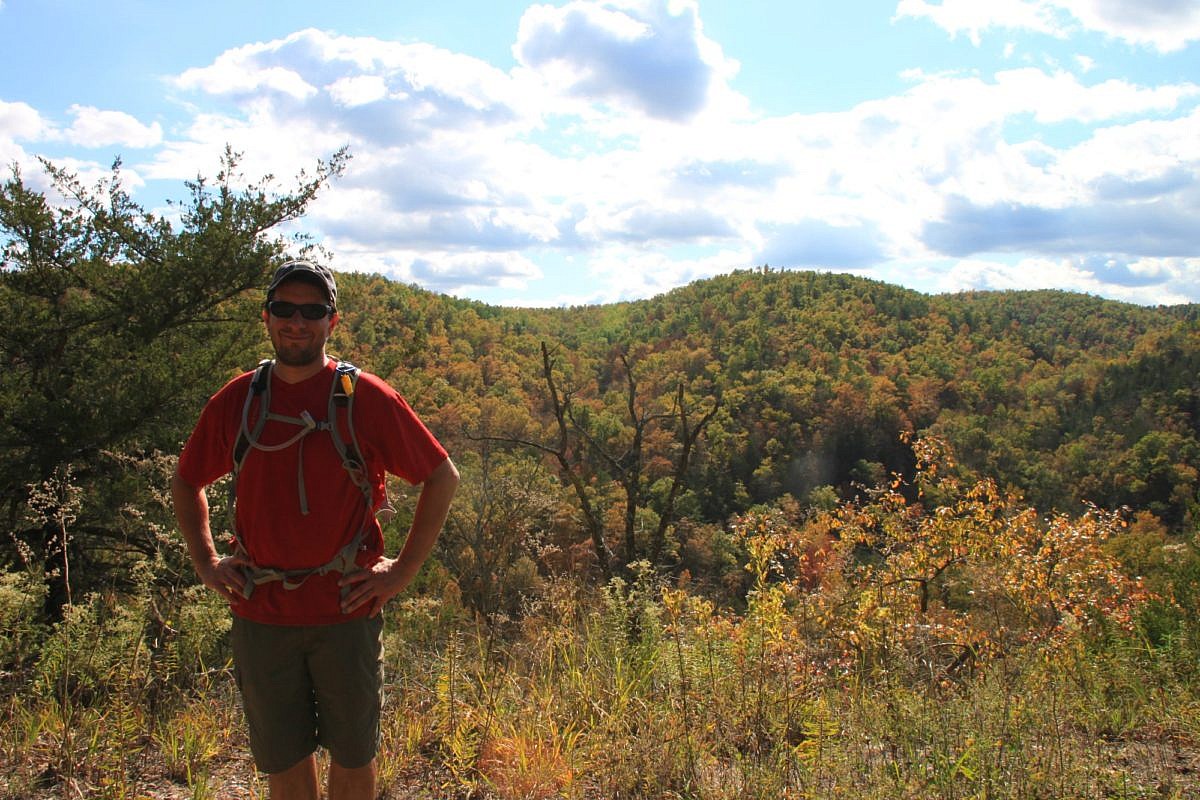
The Rush Mine Level Trail (2.8 miles as out-and-back) in the lower district of the Buffalo National River (Marion County) is an enjoyable mildly challenging hike through a former mining area.
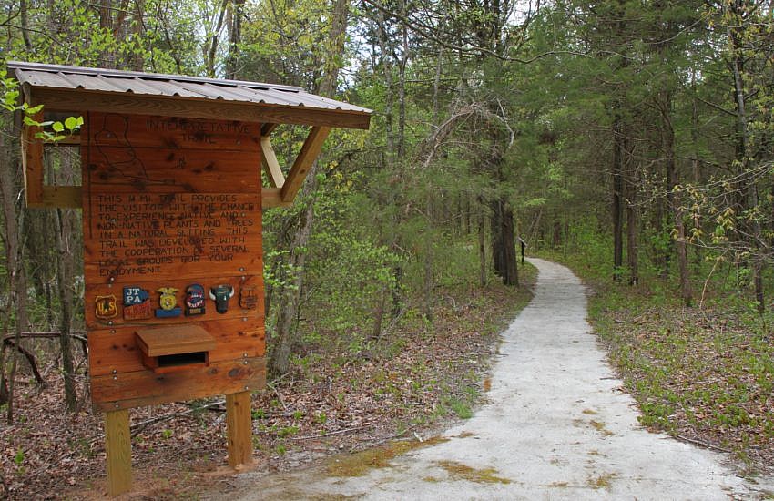
Hiking trail posts in Arkansas’s Buffalo National River area.
The Rush Mine Level Trail (2.8 miles as out-and-back) in the lower district of the Buffalo National River (Marion County) is an enjoyable mildly challenging hike through a former mining area.
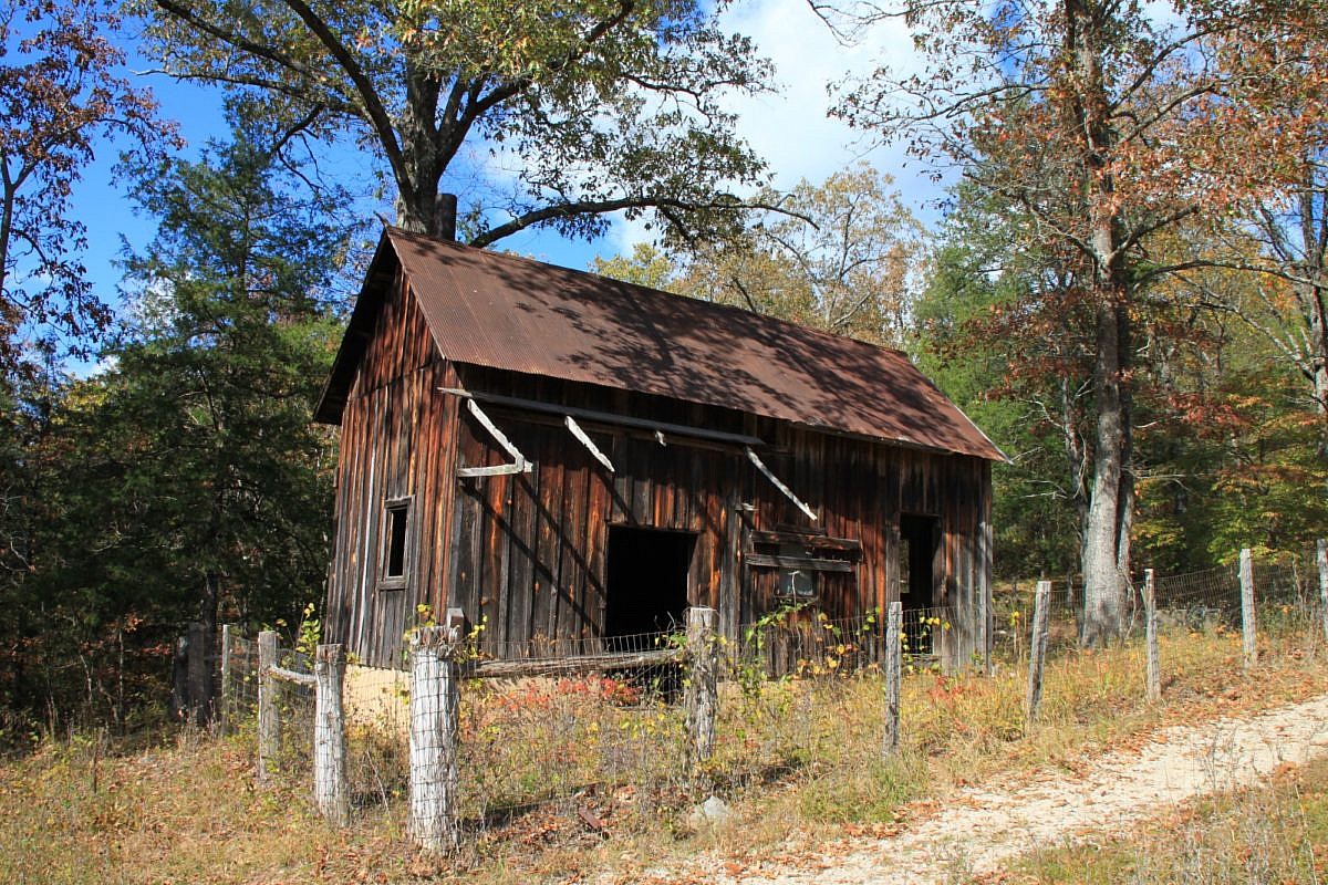
The Morning Star Interpretive Loop is an easy .2-mile loop in the Rush Historic District of the Buffalo National River Lower District (Marion County, Arkansas). It has numerous remnants of the area’s mining town history.
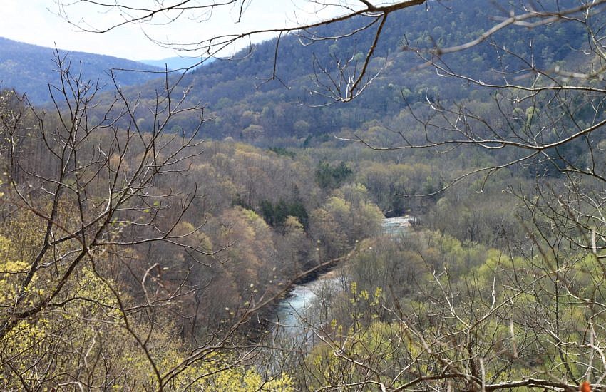
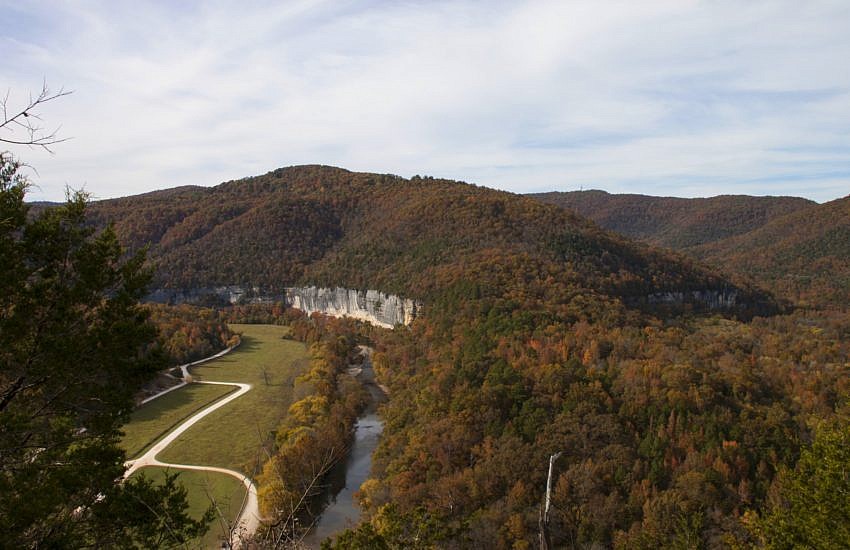
The 2.2-mile stretch of the Buffalo River Trail (BRT) from the Ponca low water bridge to Steel Creek Campground is a very scenic and enjoyable half-day hike. It is 4.4 miles as an out-and-back hike. This stretch features some nice overlook vistas with river views, seasonal waterfalls, and wonderful bluffs and rock formations.
The Buffalo River Trail (currently) is an approximately 40-mile trail running from Boxley to Pruitt along the Buffalo National River in Newton County. There are several additional sections along the middle part of the Buffalo that do not connect with these initial 40 miles on the upper Buffalo.
The Koen Interpretive Trail (Newton County) is short trail that is easy to get to and easy to hike. The trail is in the Henry R. Koen Experimental Forest, an 800-acre research forest in the Buffalo National River area that is managed by the U.S. Forest Service. It was created in 1950 with the goal […]
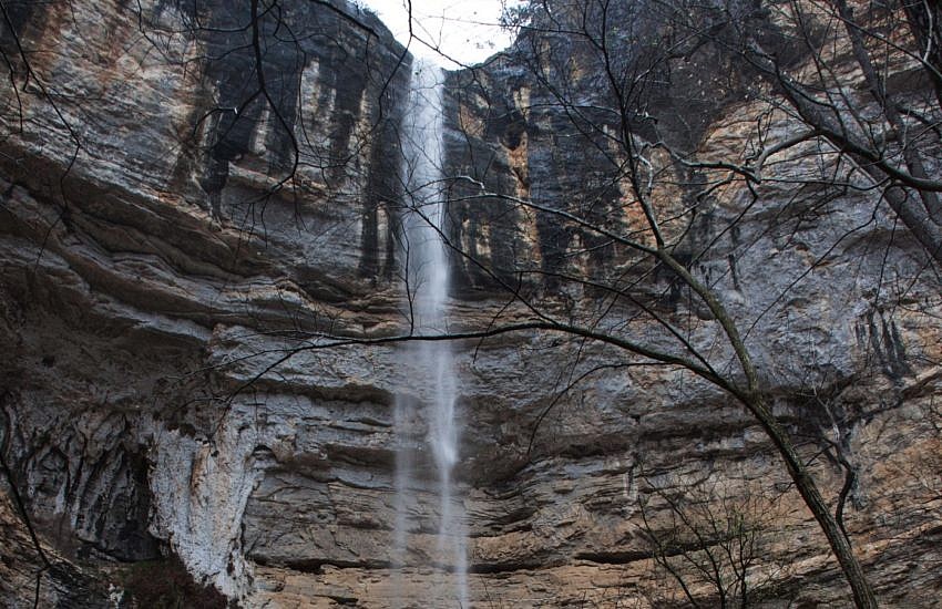
At 209 feet tall, Hemmed-in Hollow Falls (Buffalo River Upper District, Newton County near Compton) is the tallest waterfall between the Appalachian Mountains and the Rocky Mountains. While the hike isn’t easy, it is very popular as hikers are eager to see this towering beauty of the falls, and the Compton trailhead is easy to […]