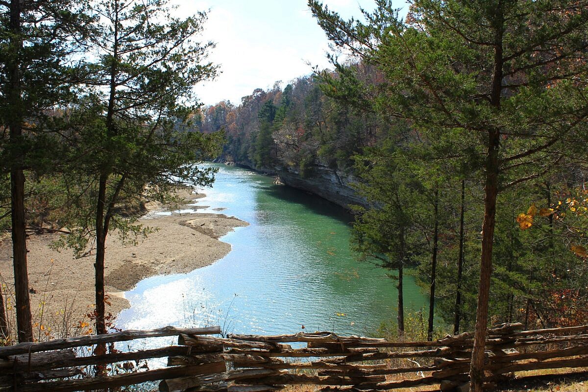
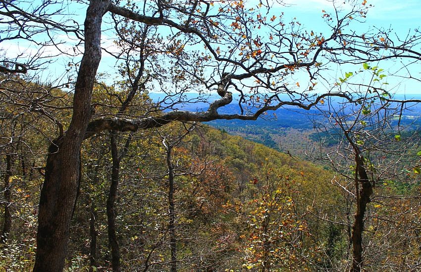
The 6-mile War Eagle Valley Loop of the Hidden Diversity Trail is a cool and scenic hike at Hobbs State Park-Conservation Area (Benton County, near Rogers). The overlooks near War Eagle Creek are a real treat.
Autumn hikes featuring great fall foliage pics.
The 6-mile War Eagle Valley Loop of the Hidden Diversity Trail is a cool and scenic hike at Hobbs State Park-Conservation Area (Benton County, near Rogers). The overlooks near War Eagle Creek are a real treat.
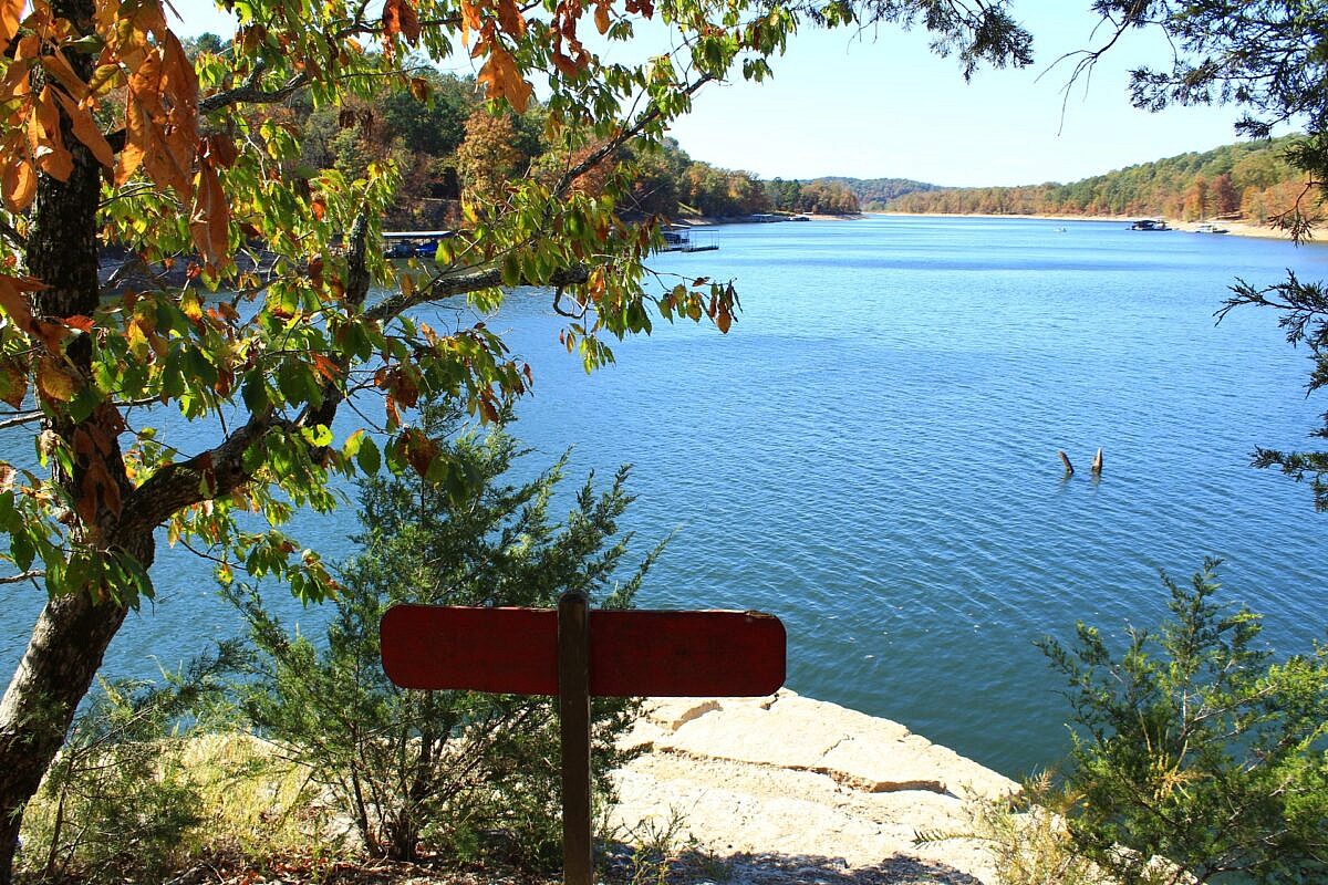
Bashore Ridge Loop hike is an enjoyable and mildly challenging 4.1-mile hike at Hobbs State Park-Conservation Area (near Rogers, Benton County, AR). The highlight is the beautiful Beaver Lake overlook. The Hidden Diversity Multi-Use Trail is a complex of loops and spurs in the west part of Hobbs. This hike does one of those loops.
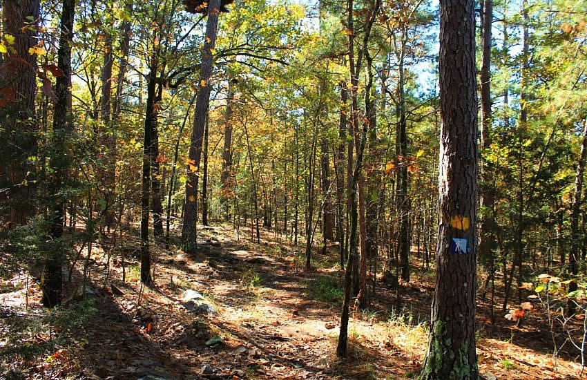
This is a cool 2.1-mile segment of the Ouachita Trail Section 4 that is pretty accessible, not difficult climbing, and a good length for a day hike (4.2 miles as out-and-back). It is in both Scott and Montgomery Counties, a little bit east of Y City.
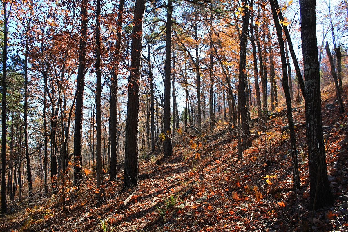
The 3.9-mile Cattail Pond/Rough Canyon Trail Loop at Robbers Cave State Park (near Wilburton, Latimer County) is a very scenic and enjoyable hike. It takes you through beautiful forested areas of the San Bois Mountains and by picturesque streams during the wet season.
Previously, I profiled this scenic and accessible stretch of Section 3 of the Ouachita Trail on Rich Mountain (Polk County, near Mena). It goes approximately from mile 51.6 to 54.1. There are some great south-facing views on this stretch.
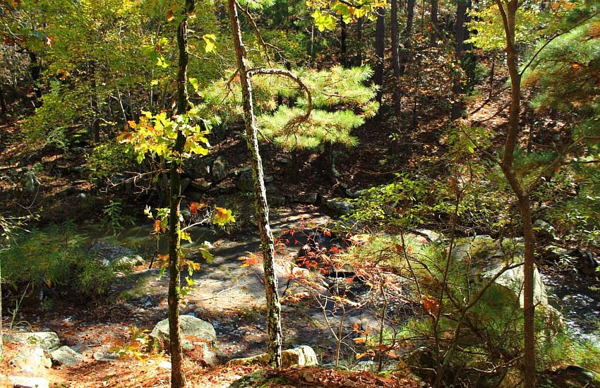
The Rough Canyon Trail at Robbers Cave Park (Latimer County, OK, near Wilburton) is a very enjoyable scenic 3-mile loop. A variation on this hike I enjoy is to take north part of the Cattail Pond Trail bypassing part of the Rough Canyon Trail and making a 3.9-mile loop.