Black Fork Mountain Trail (Ouachita Forest) ā€“ 11 mi (o&b)

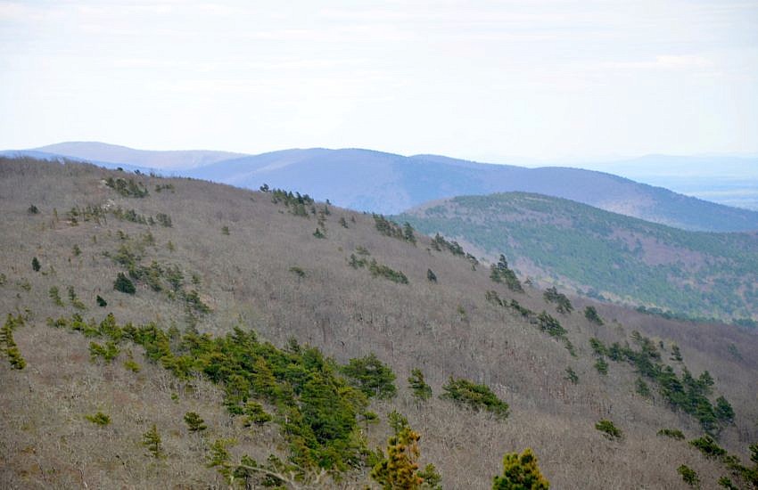
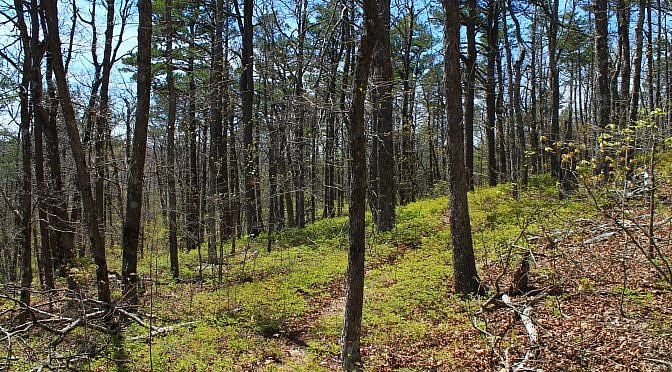
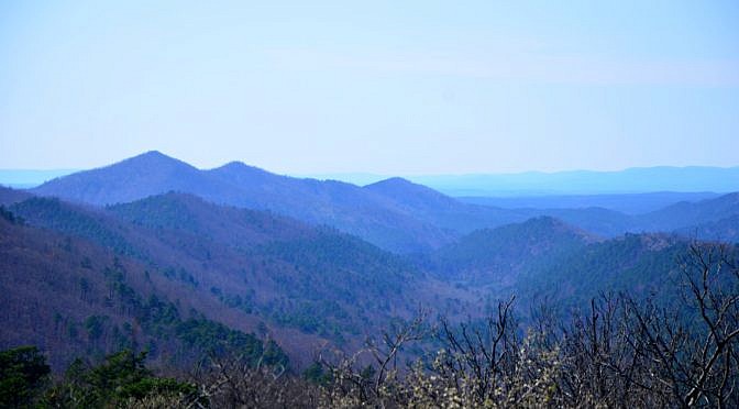
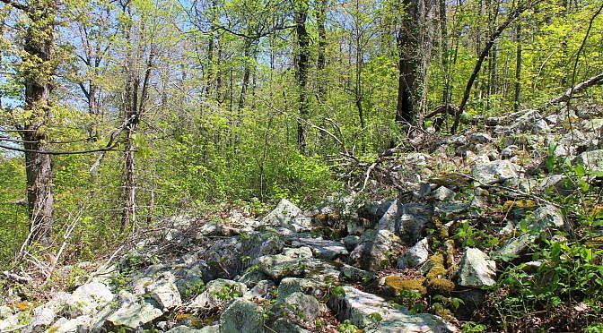
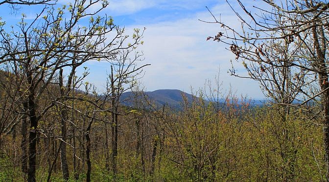
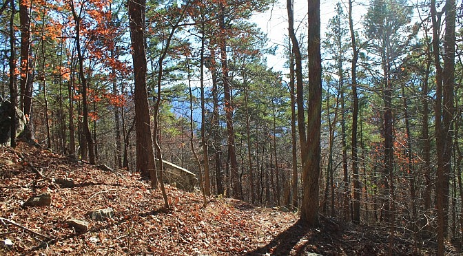
Black Fork Mountain Trail (Polk County, northwest of Mena) is a strenuous 11 mile out-and-back hike (5.6 miles each way) on Black Fork Mountain. It is in the Ouachita National Forest in southwest Arkansas, just north of Queen Wilhelmina State Park on Rich Mountain. The trail offers spectacular views, unique forests, and historic places. Black […]

Ouachita Trail 03: Pics of Eagle Gap to MM63 (58.5 to 63.0)

Here are some more pics from my April 2016 Ouachita Trail hike from Eagle Gap to Mile 63. (The trail profile is here.) This is from 58.5 to 63.0 in Polk County, Arkansas, near Mena.

Buckeye Trail – Caney Creek Trail Loop (Ouachita Forest) – 9 mi

The mountains in southwest Arkansas between Glenwood and Mena are my favorite on the entire planet. They are so rugged, remote, and beautiful, you simply cannot look at them without awe. The Caney Creek/Buckeye Trail loop (Ouachita National Forest in Polk County, near Shady Lake) is my new favorite hike in Arkansas. It has it […]

Ouachita Trail: 63.0-68.1 – MM63 on W. Fourche Mtn. to Foran Gap (Section 3)

This stretch of Section 3 of the Ouachita Trail (Ouachita National Forest) goes from Mile Marker 63 to the Foran Gap Trailhead (68.1) on Highway 71, just north of Mena (Polk County). The section of the Ouachita Trail between Eagle Gap (around Mile Marker 58) and Foran Gap is about 10 miles long and has no access […]

Ouachita Trail: 58.5-63.0 – Eagle Gap to MM63 on W. Fourche Mtn. (Section 3)

This part of Section 3 (as Tim Ernst designates) of the Ouachita Trail (OT) is from 58.5 to 63.0 in Polk County, Arkansas, near Mena. It starts about 7 miles east of Queen Wilhelmina State Park at the Eagle Gap juncture and heads up the western part of Fourche Mountain. It’s a pretty vigorous hike. […]

Ouachita Trail 02: Pics of Pashubbe TH to Kiamichi River TH (Wilton Mtn.) (34.3 – 39.2)

Back in early December, I hiked the 4.8 mile Ouachita Trail Section 2 segment that climbs over Wilton Mountain (LeFlore County, Oklahoma), an offshoot of Rich Mountain. It goes from the Pashubbe Trailhead (mile point 34.3) to the Kiamichi River Trailhead (mile point 39.2). I did it as a 9.6-mile out-and-back hike. It’s a vigorous […]