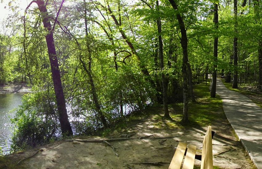
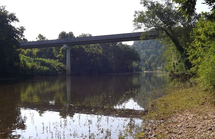
Last Arkansas State Park: Mississippi River

Last Arkansas State Park: Mississippi River photo ASP bear creek lake asp
Bear Creek Lake in Mississippi River State Park

Mississippi River State Park, located in the St. Francis National Forest in east Arkansas, is the newest Arkansas State Park. The park began operation in May 2009 and will eventually encompass 550 acres in Lee and Phillips Counties including the former Bear Creek Recreation Area.

Presently, Beach Point Campground is closed for renovations, but Lone Pine Campground and Maple Flat Campground are open.In a recent Helena Daily World article, MRSP Superintendent John Morrow said that Phase I of the park development is expected to be completed by 2015. When completed, the highlights of the park will include Storm Creek Lake, Bear Creek Lake, and the confluence of the St. Francis and Mississippi rivers.

Morrow also said this is the last Arkansas State Park to be built. Including MRSP, there are now 52 Arkansas State Parks.[Photo: Arkansas State Parks]

Lake Leatherwood: Miner’s Rock Trail

Lake Leatherwood: Miners Rock Trail photo 2010 0626007 leatherwood
Miner's Rock - Lake Leatherwood Park

When my kids and I were on a short vacation in Eureka Springs a few weeks ago, we hiked two of the trails at Lake Leatherwood Park in Eureka Springs, Arkansas. I really enjoyed the Miner’s Rock Trail.

Miner’s Rock Trail is named for the Miner’s Rock, a unique geological rock formation. (Read more about the Miner’s Rock here(pdf).) The trail runs nearly three miles from the south (main) trailhead (where there is parking) to the north trailhead. It is about 3.7 miles if you make a loop walking back along the road to where you started.

Lake Leatherwood: Miners Rock Trail photo 2010 0626016 leatherwood
Sinkhole on Miner's Rock Trail - Lake Leatherwood Park

.

Continue reading

Lake Leatherwood: Beacham Trail 06-07-2010

Lake Leatherwood: Beacham Trail 06 07 2010 photo 2010 0627005 leatherwood
Beacham Trail - Lake Leatherwood Dam

Lake Leatherwood Park in Eureka Springs, Arkansas, is a cool place for hiking with a variety of trail types. One of the easier trails is the Beacham Trail which makes a loop around the lake without much up-and-downhill climbing.

Lake Leatherwood: Beacham Trail 06 07 2010 photo 2010 0627007 leatherwood
View of Lake Leatherwood from Dam (Beacham Trail)

The beginning of the trail (if, like me, you start heading north from the main trailhead by the playground) is not that exciting. This section is just a pretty flat old road without any good views of the lake.

But then, before you finish the first mile, you hit the lake dam. The Beacham Trail then follows the pedestrian crossing along the 600-or-so-foot length of the dam. Crossing the dam is really cool with awesome views of the lake on one side and an amazing view of spillway waterfalls on the other.

.

Continue reading

Albert Pike Trail Reopenings 07-05-2010

Albert Pike Trail Reopenings 07 05 2010 photo LMT closures

The U.S. Forest Service has announced that most of the trails that were closed following the June 11 flash flood tragedy at the Albert Pike Recreation Area campground have been reopened. While a portion of the Little Missouri Trail in the campground area is still closed, a detour for the trail has been designated. (See pdf map at this link.)The campground still remains closed.

Mt. Nebo: Rim Trail Loop

Mt. Nebo: Rim Trail Loop photo 2010 0703003 nebo
Rim Trail at Sunset Point (North End of Mt. Nebo)

[Update 2012-02-26: I have added a photo from a February 2012 visit to the south Rim Trail.]

Even though I have hiked at Mount Nebo State Park, near Russellville, Arkansas, quite a few times, Saturday was my first time to hike the entire Rim Trail loop. It was very enjoyable.

Mt. Nebo: Rim Trail Loop photo 2010 0703010 nebo
Rock Bridge on Rim Trail/Summit Park Trail
Mt. Nebo: Rim Trail Loop photo mt nebo rim trail elevation
Approximate elevation profile based on gps data.

.

Continue reading