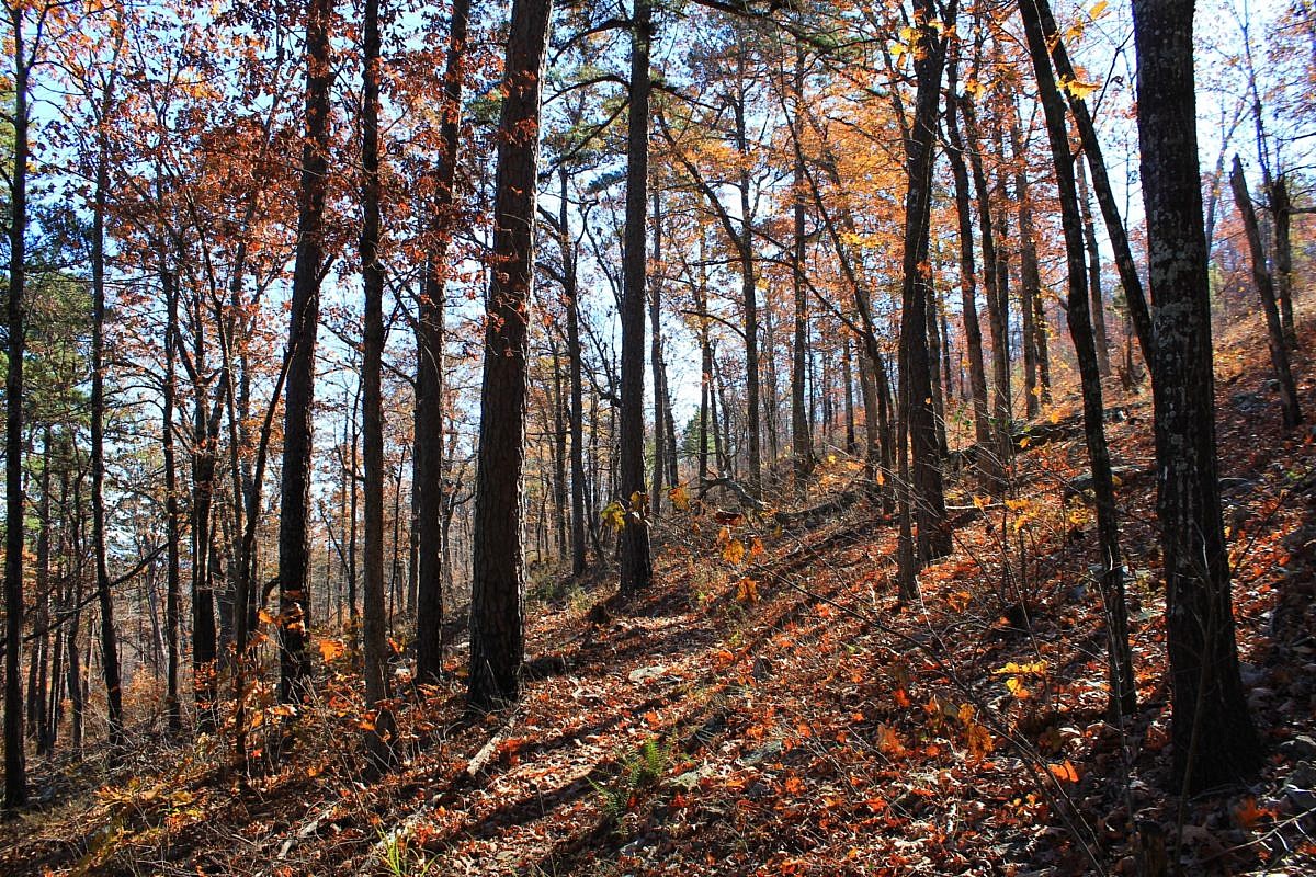
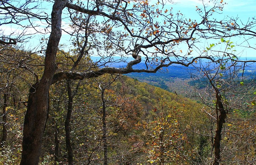
Brushy Creek Trail Loop (Ouachita Forest) – 7 mi

This is a scenic 6.5-mile loop which begins at the Big Brushy Recreation Area (Montgomery County), about 30 miles east of Mena, Arkansas. The trail begins at the back of the recreation area and makes a counterclockwise loop. The last 3.1 miles of the loop are on Section 4 of the Ouachita Trail.
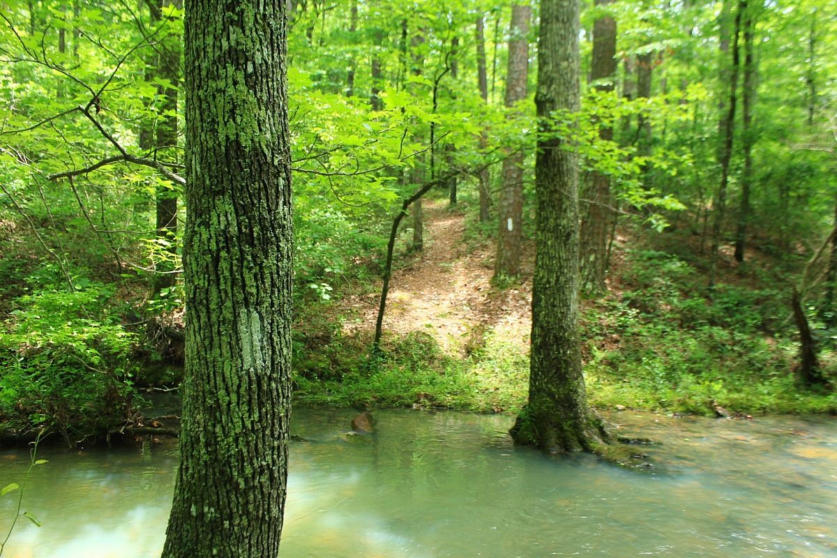
Ouachita Trail: 88.2-90.3 – FR 48 to FR 813 on Rockhouse Mtn. (Section 4)

This is a cool 2.1-mile segment of the Ouachita Trail Section 4 that is pretty accessible, not difficult climbing, and a good length for a day hike (4.2 miles as out-and-back). It is in both Scott and Montgomery Counties, a little bit east of Y City.

Ouachita Trail: 47.8-51.6 – FR 514 to Queen Wilhelmina (Pioneer Cemetery) (Section 2)

This is an enjoyable 3.8-mile east-west stretch of the Ouachita Trail in Polk County (near Mena) with Forest Road 514 (Polk County Road 100) on the west end and the Queen Wilhelmina State Park (QWSP) Lodge on the east end. It is easily accessible for an enjoyable 7 or 8 mile out-and-back day hike.

Ouachita Trail 03: Pics of MM63 to Foran Gap (63.0 to 68.1)

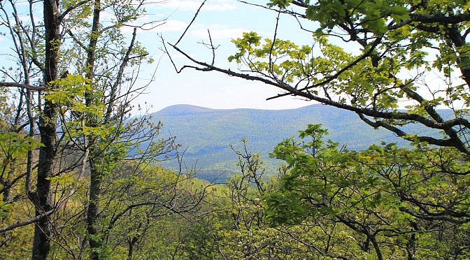
Back in the spring of 2016, I did a 10 mile hike on Section 3 (Polk County) of the Ouachita Trail starting at the Foran Gap Trailhead then going west on western Fourche Mountain to MM 63 and back. My full profile of that stretch of the Ouachita Trail is here. These are some additional […]

DeGray Lake: Green Heron Trail – 1 mi

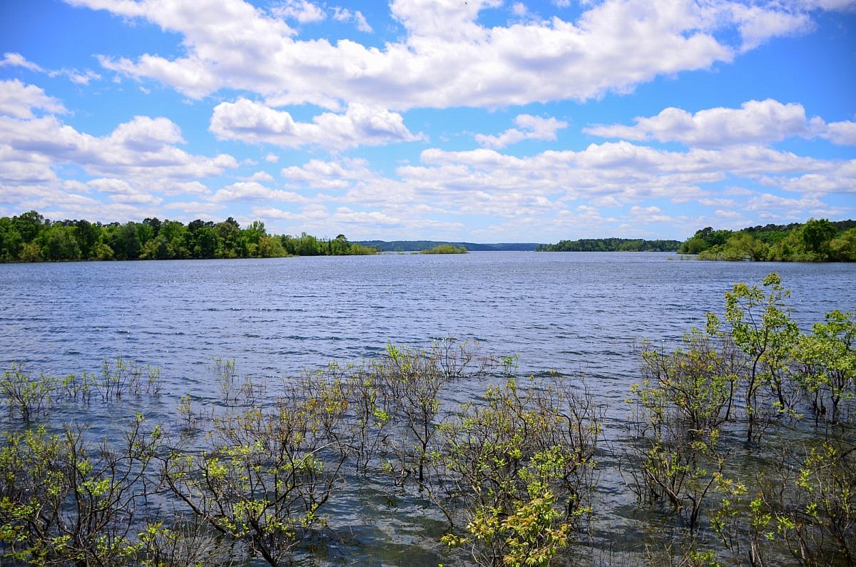
The Green Heron Trail at DeGray Lake Resort State Park (near Caddo Valley and Arkadelphia) is a scenic roughly mile-long lollipop loop. It begins behind the Visitor Center and is a nice wide, flat path that is great for viewing wildlife.

Ouachita Trail 03: Queen Wilhelmina to Hwy 88 (51.6 to 54.1) Pics

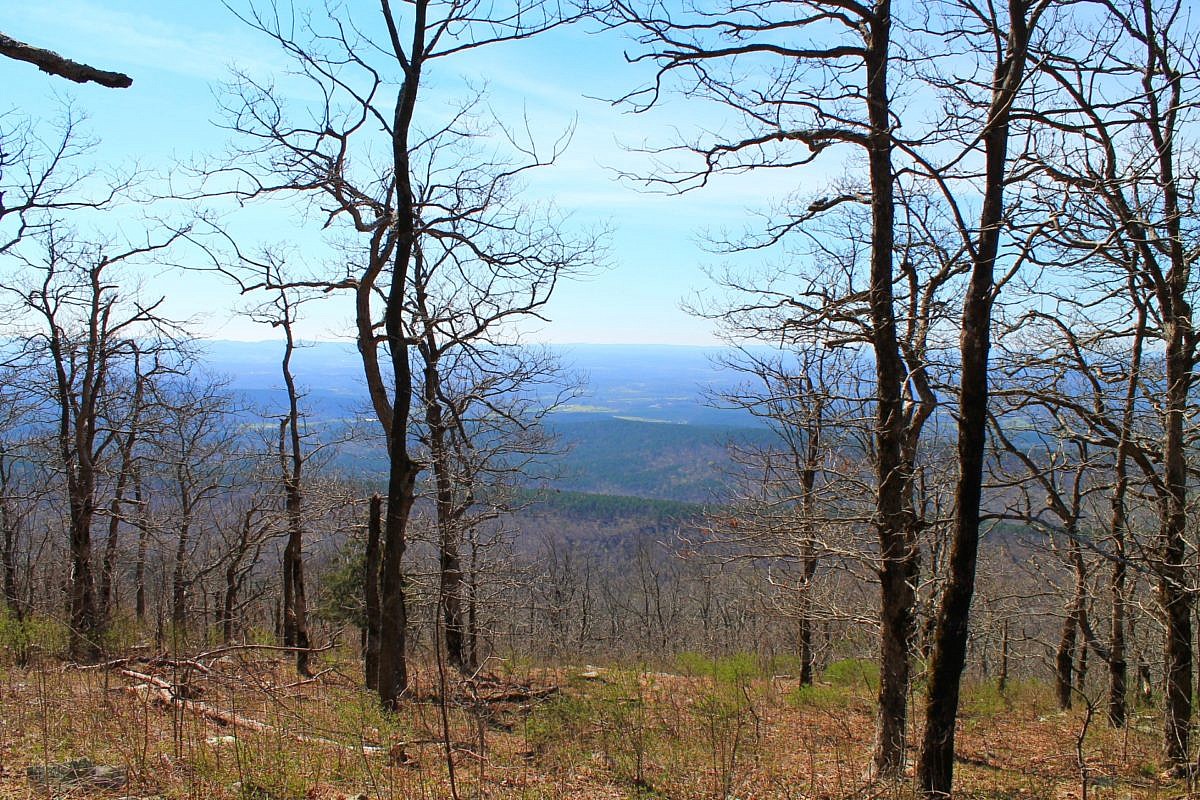
Previously, I profiled this scenic and accessible stretch of Section 3 of the Ouachita Trail on Rich Mountain (Polk County, near Mena). It goes approximately from mile 51.6 to 54.1. There are some great south-facing views on this stretch.